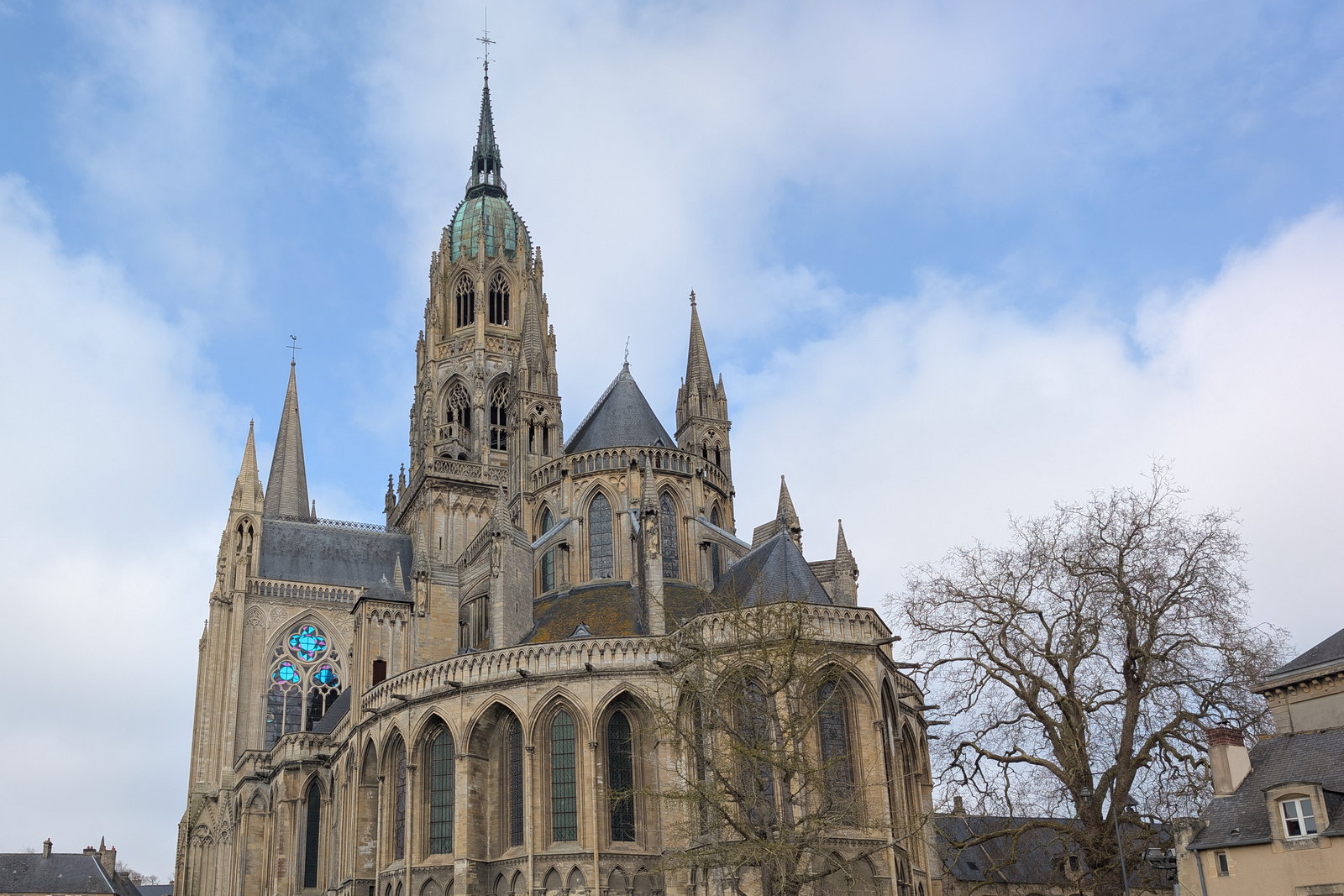
Photo spot in Bayeux & the D-Day Beaches
Pointe du Hoc
A cliff-top field still folded into shell craters, with broken concrete bunkers standing on the edge above a thirty-metre drop.
About Pointe du Hoc
Get directionsPointe du Hoc is a headland between Omaha and Utah beaches where the ground itself is the monument. The clifftop was a German coastal battery, it was bombarded from sea and air before the landings, and eighty years on the field is still a landscape of overlapping craters — grassed over, softened, but unmistakable. Broken observation posts and casemates sit among them, some of them right on the lip of a thirty-metre cliff.
Photographically it is the most dramatic place on this coast and the least conventional. Paths run between the craters on gravel and boardwalk, and the frames that work are the wide ones: a couple small against the pitted ground, or the silhouette of a bunker on the cliff edge with the Channel behind. Evening light comes from the west along the coast and separates the craters; midday flattens them to nothing.
It is exposed, and there is no shelter. Wind off the sea is the norm, gusts on the point can be strong enough to make a long dress or a veil unworkable, and the cliff edge is fenced for good reason — stay behind the barriers and off the closed sections, which change as the cliff erodes.
Access is free and the site is managed by the American Battle Monuments Commission, with its own opening hours, a visitor centre and rules on conduct and on anything commercial. Check them before booking a session here rather than assuming a public clifftop.
Best time to shoot
The last two hours of daylight, when low western light picks out the craters
Tips
Fenced sections change as the cliff erodes — stay behind the barriers. The site has its own hours and conduct rules, so check before booking. Expect wind on the point.
Recent work in Bayeux & the D-Day Beaches
Portfolio shots by photographers covering this area


Natalia D.
View profile →

Natalia D.
View profile →

Natalia D.
View profile →

Natalia D.
View profile →
Natalia D.
View profile →

Natalia D.
View profile →

Natalia D.
View profile →

Natalia D.
View profile →

Natalia D.
View profile →

Natalia D.
View profile →

Natalia D.
View profile →

Natalia D.
View profile →

Natalia D.
View profile →
Natalia D.
View profile →
Natalia D.
View profile →

Natalia D.
View profile →

Natalia D.
View profile →
Photographers who shoot at Pointe du Hoc
Hand-picked professionals working in Bayeux & the D-Day Beaches


Other spots in Bayeux & the D-Day Beaches
Bayeux cathedral and the mill races of the Aure
A Romanesque nave under a Gothic upper church, a green-copper lantern tower — and, five minutes below it, a waterwheel turning behind the houses.
Omaha Beach and the cliff above Colleville-sur-Mer
Two kilometres of pale sand under a low bluff, with the American cemetery on the cliff above — the widest, emptiest frame on this coast.
The Mulberry caissons at Arromanches
Concrete blocks the size of houses, towed across the Channel in 1944 and still standing in the bay and lying on the sand at low tide.
Ready to book?
Our concierge team will hand-pick 2-3 photographers who know Pointe du Hoc — free of charge.