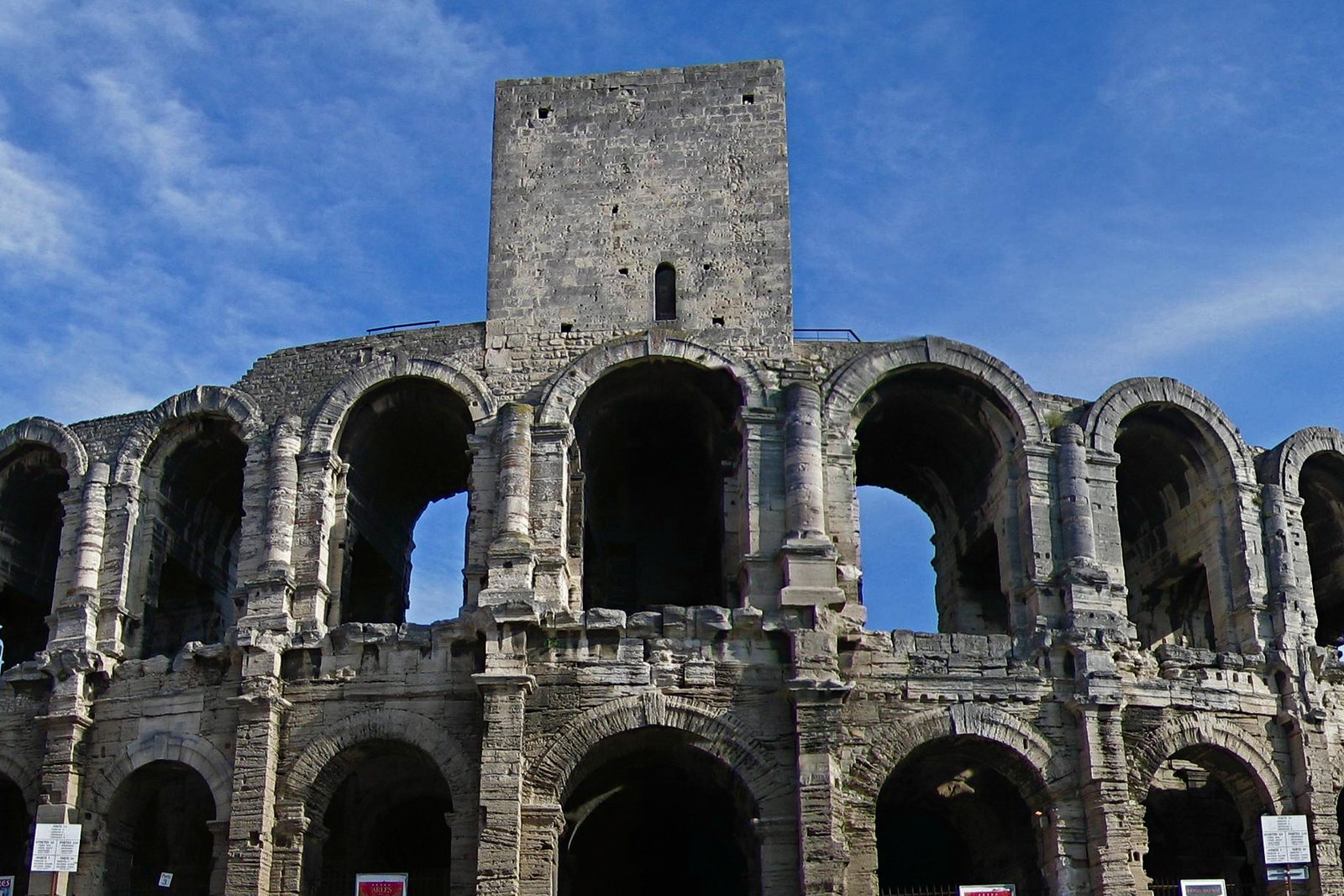
Photo spot in Arles & the Camargue
The Camargue salt flats at Salin-de-Giraud
Salt pans that turn rose in high summer, flat horizons, white horses and flamingos — a half day south of Arles, and worth the drive.
About The Camargue salt flats at Salin-de-Giraud
Get directionsSalin-de-Giraud sits at the southern end of the Camargue where the Grand Rhône reaches the sea, and the landscape there is nothing but horizontal: salt pans in rectangles to the horizon, white salt hills at the works, low dykes, shallow water and enormous sky. In the second half of summer the brine goes pink from the algae in it, which is where the postcard colour comes from — it is real, but it is seasonal and it is not pink all year.
The viewpoint on the road above the pans gives the wide shot. Along the Route de la Digue à la Mer and the tracks through the Étang de Vaccarès you get the rest of the Camargue: white horses grazing in the marsh, black bulls behind fences, and flamingos in the shallow lagoons — genuinely there, in real numbers, not a tourism invention.
The light is the reason to come late. Flat midday sun on flat water is nothing; the last hour turns the whole plain gold and pink and puts long shadows across the dykes. Sunrise does the same from the other side.
This is a real drive — around forty-five minutes each way from Arles — so it is a half day, not a stop. Mosquitoes from May to September are serious at dusk and repellent is not optional. Many tracks cross private ranch land: stay on public roads and marked paths, and never approach the horses or bulls.
Best time to shoot
The last hour before sunset, or sunrise; the pans are at their pinkest in the second half of summer
Tips
Forty-five minutes each way from Arles — budget a half day. Repellent is essential from May to September, and much of the marsh is private ranch land: stay on public roads.
Recent work in Arles & the Camargue
Portfolio shots by photographers covering this area

Natalia D.
View profile →

Audrey C.
View profile →

Audrey C.
View profile →
Natalia D.
View profile →
Audrey C.
View profile →
Natalia D.
View profile →
Audrey C.
View profile →
Audrey C.
View profile →

Natalia D.
View profile →

Audrey C.
View profile →
Natalia D.
View profile →
Natalia D.
View profile →

Audrey C.
View profile →
Natalia D.
View profile →
Audrey C.
View profile →
Audrey C.
View profile →
Audrey C.
View profile →
Audrey C.
View profile →
Natalia D.
View profile →
Natalia D.
View profile →
Natalia D.
View profile →
Natalia D.
View profile →
Audrey C.
View profile →
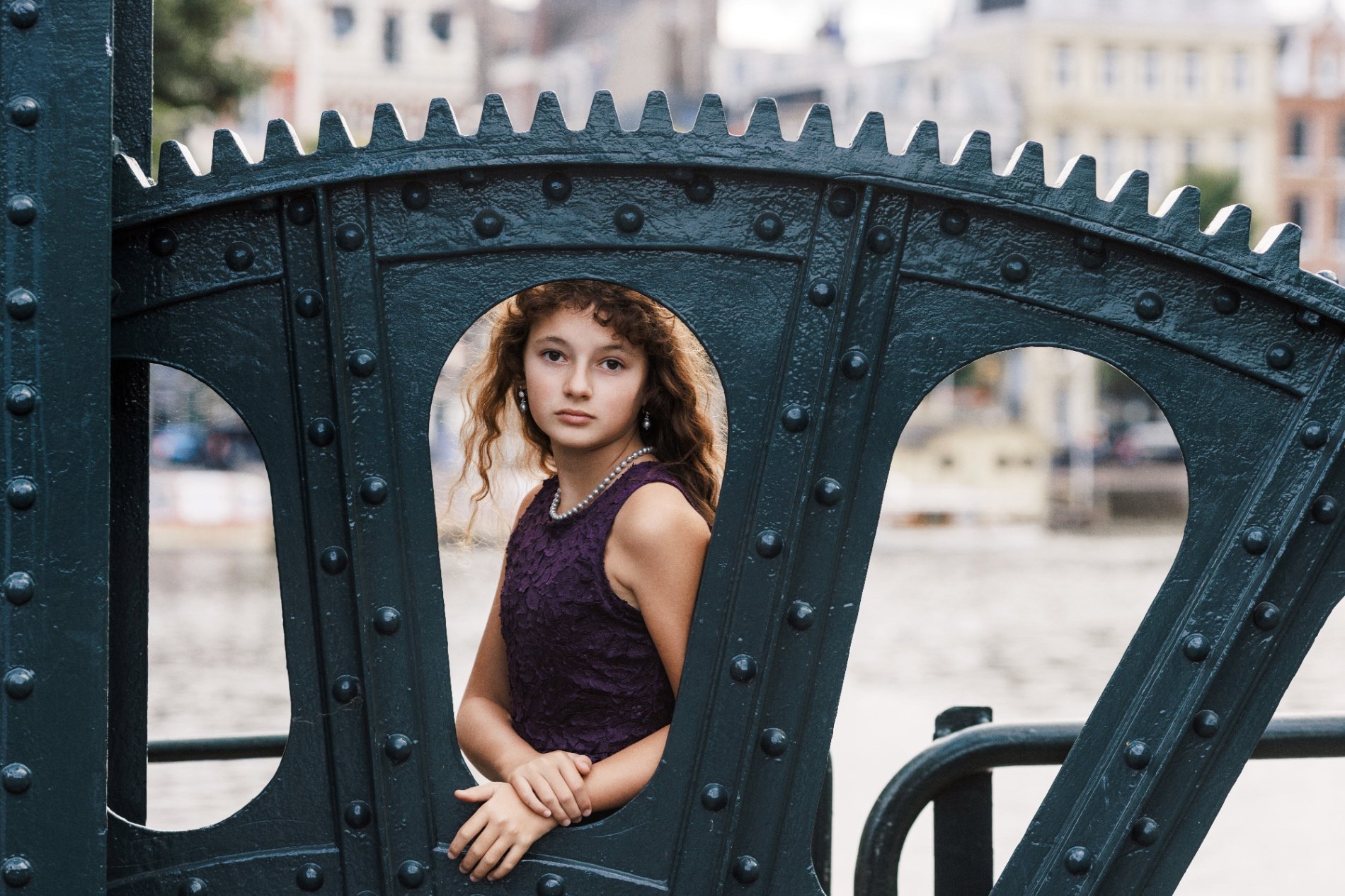
Natalia D.
View profile →
Natalia D.
View profile →
Natalia D.
View profile →
Audrey C.
View profile →
Natalia D.
View profile →
Natalia D.
View profile →
Audrey C.
View profile →
Natalia D.
View profile →
Natalia D.
View profile →
Photographers who shoot at The Camargue salt flats at Salin-de-Giraud
Hand-picked professionals working in Arles & the Camargue
Real reviews from Arles & the Camargue photoshoots
Wilona
He was genuinely brilliant! He suggested beautiful spots for our couple shoot and knew how to guide us while still letting us enjoy the moment. He was present and available all day long, without ever seeming to tire! He even did far more…

Adel B.
Photographer
Julie
Thank you, Adel, for your remarkable work. You brought that wonderful weekend back to life through your photos, including the moments we couldn't catch ourselves at the time. You caught the smiles, the emotions and the laughter while…
Adel B.
Photographer
Other spots in Arles & the Camargue
The Roman amphitheatre
Two tiers of arches and three medieval towers in the middle of a living town, with the streets bending to follow the outer wall.
Place du Forum and the yellow café
A small plane-tree square with the café Van Gogh painted at night, still repainted the same yellow, and two Roman columns embedded in a hotel wall.
Abbaye de Montmajour
A vast bare Romanesque abbey on a rock above the plain ten minutes north of Arles, with a tower to climb and almost nobody in it.
Ready to book?
Our concierge team will hand-pick 2-3 photographers who know The Camargue salt flats at Salin-de-Giraud — free of charge.